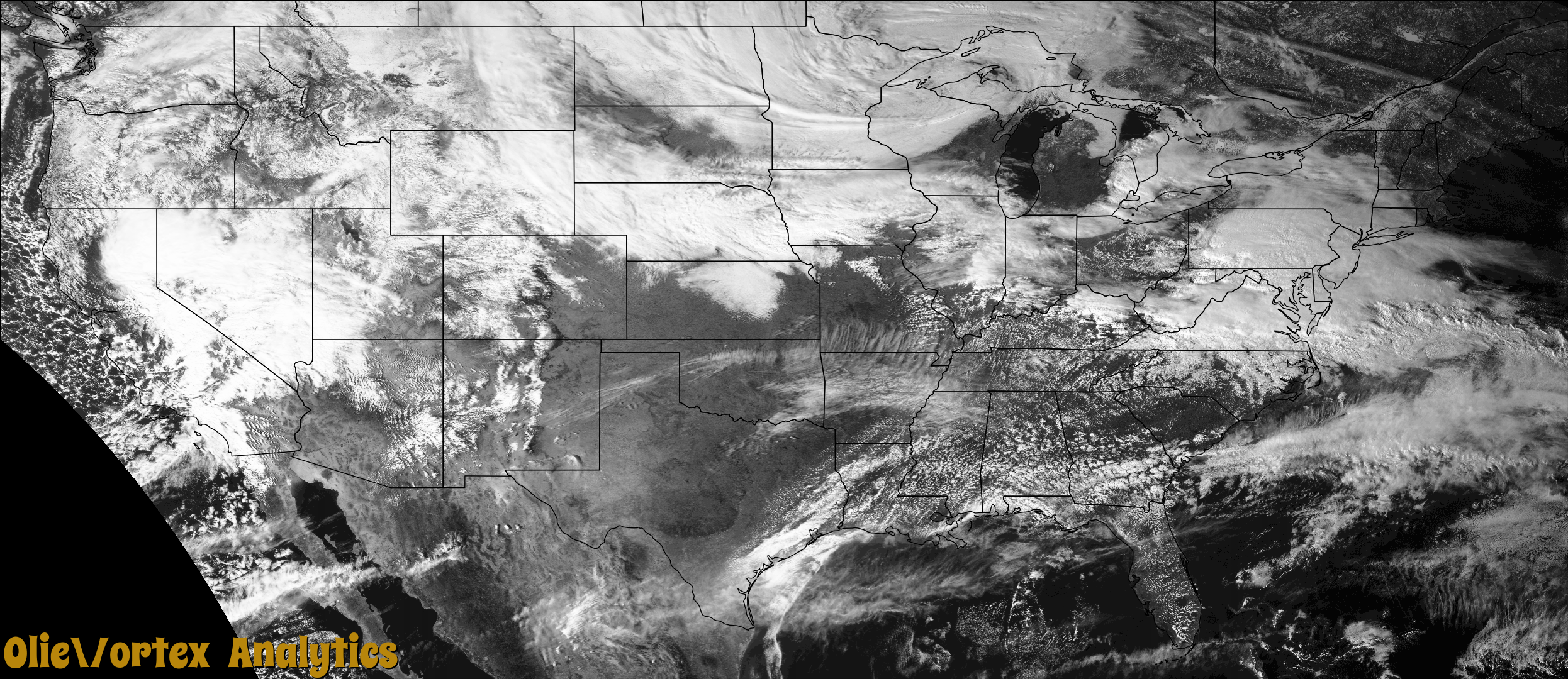
Tornado Reports
Sort by Time Sort by Rating Sort by State Sort by County| Time | Rating | Radar | State | County | Location | Narrative |
|---|---|---|---|---|---|---|
| 20:59Z | EF0 | KVWX | IL | Clay | 1 Sse Edgewood | EF0... peak wind speed 75 mph... path length 3.0 miles. The tornado touched down just south of the Clay and Effingham county line... near the Edgewood Rd. curve... and |
| 21:07Z | EFU | KVWX | IL | Effingham | Mason | Corrects previous tornado report from Mason. Corrected location. |
| 21:07Z | EFU | KILX | IL | Effingham | Mason | (ILX) |
| 22:12Z | EFU | KVWX | IL | Crawford | 2.5 N Chauncey | (ILX) |
| 22:24Z | EFU | KVWX | IL | Crawford | 3 Ssw New Hebron | Mobile home rolled over with occupants trapped. Three houses with roof off. |
| 00:15Z | EF0 | KVWX | IL | Clay | 3 Nnw Bible Grove | EF0... 75 mph... path length 4.1 miles. Much of the damage was concentrated at a farmstead along the Clay/Effingham county line east of 1800th St. Metal from the top of |
| 00:21Z | EFU | KVWX | IL | Effingham | 4 N Bible Grove | (ILX) |
Storm reports are derived from "The Storm Events Database" (National Centers for Environmental Information) and/or "Past Storm Reports" (Storm Prediction Center).